About FloodAware
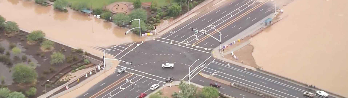
Flooding is the most common natural hazard, causing large property losses and fatalities worldwide. For example, in the United States (U.S.) major flooding events have caused an annual average of $9.1 billion in losses and 71 fatalities between 2004-2015.1 Most flood damage occurs in our urban cityscapes, where large impermeable surfaces, costly urban structures, and high population concentrations come together to put both people and property at grave risk. Each year, thousands of people are killed or injured during flooding encounters, along with hundreds of millions of dollars in damage to private and public property.
Smart cities are communities using modern information and communication technology for data collection and management so that city managers may develop and maintain infrastructure and their services. Smart city technologies have the potential to:
- reduce the impacts of urban flooding, by providing real-time monitoring and improving flood prediction during severe rainfall events distributed across the city;
- warn people imminently in harm’s way, and can help optimize first response; and
- allow city managers to comprehensively “replay” flooding events to expose and improve weaknesses in stormwater infrastructure, allowing rapid, data-driven reduction of flooding risks.
Project Overview
FloodAware is a multi-university project to explore the Smart City vision by developing and testing a real-time flood detection, reporting, and communication technologies for cities and local communities. FloodAware integrates urban cameras, sensors, social media and direct citizen reporting into a comprehensive dynamic flood monitoring network, combining these data streams to drive real-time modeling and prediction of imminent flooding, and keeping both authorities and citizens apprised of current and expected flooding risks. The project is supported by the National Science Foundation's Smart and Connected Communities program (award 1831475).
Collaboration with community partners is a central feature of FloodAware, including city, county, and state entities, as well as NOAA and the National Weather service. A specific goal of FloodAware is to not only research and develop technologies, but also to actually deploy our flood monitoring system in pilot municipalities across the country. If you are a local or regional flood response coordinator and would like to discuss how get your municipality or organization involved, please contact our lead investigator, Dr. Mikhail Chester.
Project Objectives
- Develop flood cameras with image recognition software
- Develop a mobile hydrology smartphone application
- Advance existing CrowdHydrology tools based on citizen science
- Test the efficacy of mining social media feeds for real-time information
- Create hydrological models to assess the usefulness of the new technologies in forecasting flooding
- Develop a backend computing infrastructure to process data streams from the aforementioned technologies
- Test the pushing of real-time flooding information to several national water-based data services
![]() This material is based upon work supported by the National Science Foundation under Grant Number 1831475. Any opinions, findings, and conclusions or recommendations expressed in this material are those of the author(s) and do not necessarily reflect the views of the National Science Foundation.
This material is based upon work supported by the National Science Foundation under Grant Number 1831475. Any opinions, findings, and conclusions or recommendations expressed in this material are those of the author(s) and do not necessarily reflect the views of the National Science Foundation.
For more information, please contact us at mchester@asu.edu.